We use cookies on this site to enhance your experience.
By selecting “Accept” and continuing to use this website, you consent to the use of cookies.
Search for academic programs, residence, tours and events and more.
Nov. 17, 2023
Print | PDFStudents from Wilfrid Laurier University got a first-hand look at climate-induced threats facing Canada’s Rocky Mountain region as part of the fourth-year Geography and Environmental Studies field course that focused on communicating climate change in Canada’s mountain regions.
Fifteen students explored parks and protected areas in Alberta and Montana between Aug. 26 and Sept. 5, gathering observations, photographs and other qualitative data. Their findings will form the foundation of interactive story maps that address impacts, implications and solutions to climate change-related threats in Canada’s mountain regions.

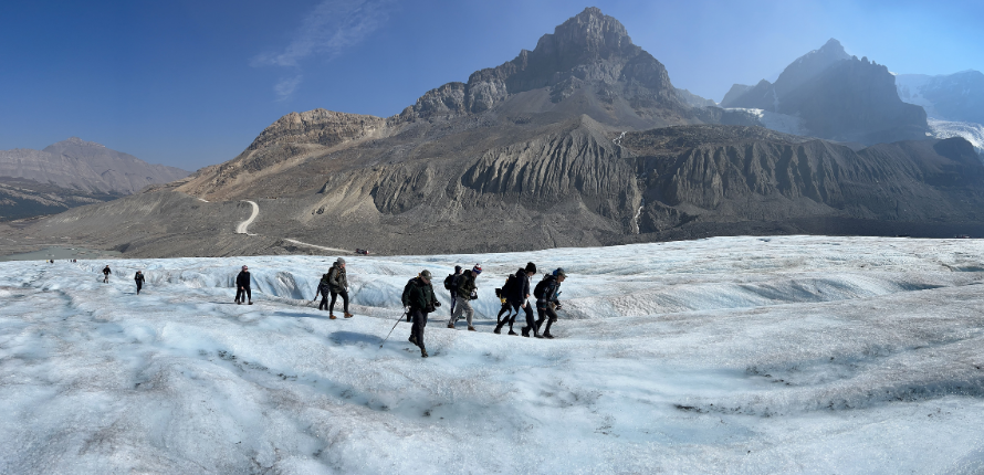
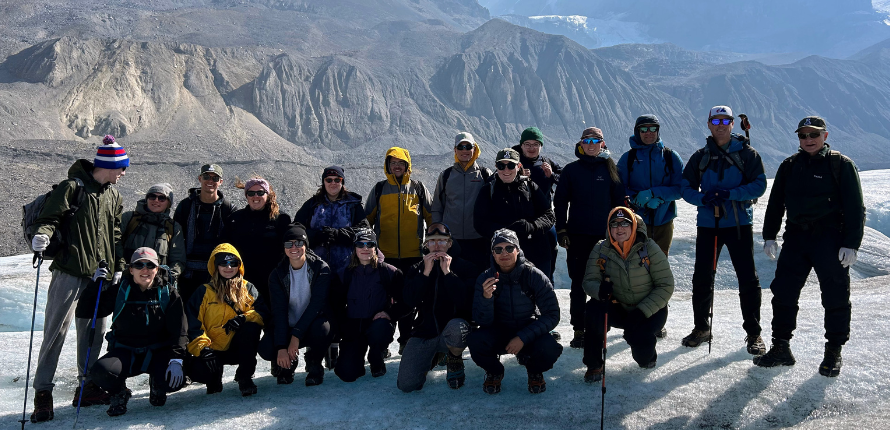
Laurier students and accompanying professors walk across the Athabasca Glacier at Jasper National Park.
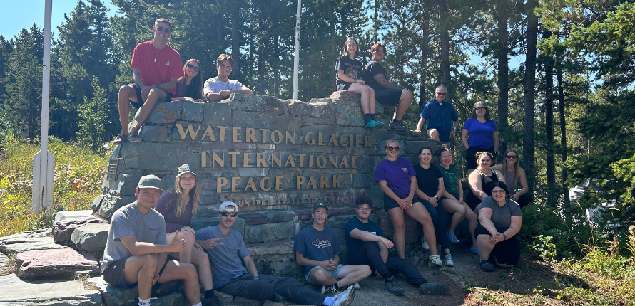
The 10-day field course included experiences at Waterton Lakes National Park in Alberta and neighbouring Glacier National Park in Montana, Banff and Jasper national parks, and provincial parks in Kananaskis Country, Alberta.
The course was led by Associate Professor Chris Lemieux, whose expertise includes natural resources policy, planning and management; parks and protected areas management; biodiversity conservation; and tourism and recreation.
The field course is one of three offered by the Department of Geography and Environmental Studies at Laurier’s Waterloo campus. Additional offerings include two third-year field experiences focused on surveying and research. Field experiences address course content through high-impact learning opportunities that help students develop skills for the future.

"Field courses provide an immersive opportunity for students to apply what they have learned in the traditional classroom and gain important skills in interpersonal communication, critical thinking, and field techniques” says Lemieux. “There is no better classroom than the outdoor one. Being able to experience the natural environment you are studying can be a very meaningful life experience, encourage positive environmental behaviours, and foster life-long friendships.”
The field course was the first out-of-province experience since the onset of the COVID-19 pandemic. Laurier student Katherine Plante completed the first two years of her undergraduate studies remotely amid the COVID-19 pandemic. For Plante, learning about climate risks while immersed in areas affected by climate change brought course content to life.
“There is such a difference in learning for me when I can interact with other people and be immersed in the course content,” says Plante. “It was incredible to be in nature like that and having the professors with us to answer questions and share their expertise enhanced the experience.”

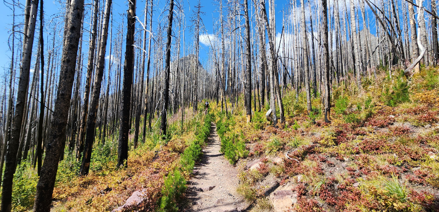
Trees damaged during a forest firest at Waterton Lakes National Park in Alberta in 2017.
Trina King, cartographer and geospatial specialist, James Hamilton, associate professor, and Brooklyn Rushton, PhD student and teaching assistant, all from the Department of Geography and Environmental Studies, accompanied Lemieux and the students. Guides and educators at the national parks visited by the group also contributed knowledge and expertise to the students’ projects.
Plante’s story map explores the impacts of heavy rainfall and flooding on infrastructure near Glacier National Park, which borders Alberta. More than 100 millimeters of rain fell in the area during the students’ field experience, causing potholes to form in gravel roadways and delaying travel time to and from the park. Soil erosion from heavy rainfall and flooding also threatens trail and road safety.

Ryan Berkley’s story map addresses the impacts of forest fires in the Canadian Rockies. At Waterton Lakes National Park, Berkley photographed barren trees scorched during a devastating forest fire in 2017. The fire, caused by a lightning strike on nearby Kenow Mountain, damaged 19,000 hectares of Waterton Lakes National Park and impacted wildlife and park infrastructure.
“The interior is really dry,” says Berkley. “The air, the ground. I was surprised by how little humidity there was compared to the other times I’ve been in British Columbia.”
While Plante and Berkley’s story maps address different aspects of climate change in the Canadian Rockies, both agree that learning on-site is an experience second to none.
“Pictures don’t do the scenery justice,” says Berkley. “And you just can’t get this kind of experience in a classroom.”